Everywhere, there is some form of 'navigation': where are you, where do you want to go and what is the best and safest way to get there.
On the canals and rivers, this is fairly straightforward: you use a chart (a map on a boat is called 'chart') and you can see easily from features on shore and in the water where you are. Having said that, its important that you use a chart and not a road map. The world looks quite different from the water and you would not be the first one found to be completely lost using a road map.
Open water like the IJsselmeer and the Baltic are one step up in complication. Sometimes you cant see the shore that you are going to, so you dont have a point to steer to. And there may well be shallows or shipping channels, which makes it important to know where you are and where you are heading. These days, we have GPS to help with that. Onbekommerd has two GPS systems, which can be run independently if needed. The one gives a position, heading and speed and can be programmed to give course and distance to a 'waypoint'. Its the rectangular 'box' in the top left hand corner of this picture:

Together with a good chart and some understanding of navigational principles, it is straightforward to navigate with this.
One system up is when one connects the GPS to a chart plotter. We use a laptop with electronic charts for this purpose, and a programme called WinGPS5. The signal comes from the GPS box (or from an external antenna, which looks like a mouse) and the computer shows the position, speed and heading as well as the course to the next waypoint, a trace of the route to follow and of the route already covered and some other useful information.
This can be seen in this picture:

The position is indicated by the little boat (on the border of Germany and Denmark in this case), the green line is the route we have planned. The navigation data is on the left.
This is the system we have used for our entire trip, it can also give us interesting trivia such as the most extreme Southerly, Westerly, Easterly and Northerly positions reached this year.
South: 51 deg, 36.16 mins (on the way to Burghsluis in Zeeland, in APril)
West: 3 deg, 45.31 min (Burghsluis itself)
East: 12 deg, 40.41 min (the Swedish island of Ven) and
North: 56 deg, 7.87 min (Gilelleje, on Sealland)
The most complicated navigation is on the 'Wadden', the area between the North Netherlands / German coast and the islands North of that. Here we have big tidal differences (up to 3m), causing the area to fall dry twice per day and then fill up again, which is accompanied by sometimes fierce currents. And the channels between all the dry falling 'plates' are continuously moving by the scouring action of the currents. So here you need accurate and up to date charts (electronic as well as paper) and knowledge and understanding of the tides. There is a very useful programme called 'Quicktide', which will help one tremendously to calculate when certain passages are safe.
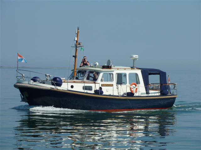
But all these electronic gadgets can fail one day, so we also use the paper charts, the compass and the speed to give us estimated positions, especially on big and / or complicated water:

As this is the "Onbekommerd blog" and we are now back in Cape Town for the (European) winter, this is probably going to be my last post until we go back to our floating home next year. We have exiting plans, which include a 'spring trip' to the Dutch Wadden, a Friesland tour in convoy with South African friends and thereafter a 'long distance' voyage to Gotheborg in Sweden and from there through the Gotha canal to the Swedish East cost, Stockholm and along the coast back South.
We enjoyed writing the blog, we hope you enjoyed reading it!
See you next year.
No comments:
Post a Comment